Thurrock parkrun, Orsett Heath

I had originally considered visiting Thurrock parkrun on New Year's Day when I was focussed on the East of England alphabet, but car parking challenges at the time ultimately nudged me to attend Thomas Mills parkrun instead. With the parking situation now under control, I decided that today would be the day I finally visited!

The area

Modern Thurrock is a mostly residential town located just outside the M25. Due to both it's transport connections as well as its proximity to London, it is a popular place for commuters to live, as well as its ports providing many local employment opportunities.

The London Gateway development project, which includes both Tilbury dock as well as London Gateway port share the primary goal of enabling the transport of goods for consumption within the Greater London region.

The course

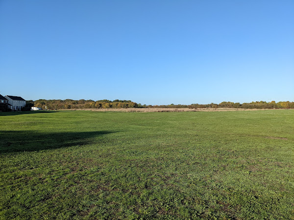
The route follows two laps of the playing fields, all on grass, and there is no significant elevation, so you can see runners elsewhere on the course for the majority of the run.

There is limited free parking at the Pyramid centre, as well as toilets. There is no designated post-run cafe for refreshments at the moment, although there are talks happening to arrange post-run refreshments in the near future.

The run

Today's run was a relatively uneventful one, with plenty of happy marshals to encourage participants around the course. It was clear that this was a very community-oriented event, as it seemed most of the runners knew the names of every marshal as we passed them!

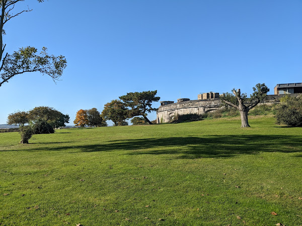
View from the start

Thanks to all the volunteers for such a really welcoming run!

After the run

The area surrounding today's parkrun is primarily residential, and while there are some points of interest, I instead decided to travel the short distance to the River Thames to explore there instead.

Both Tilbury docks and London Gateway ports are located in the area.

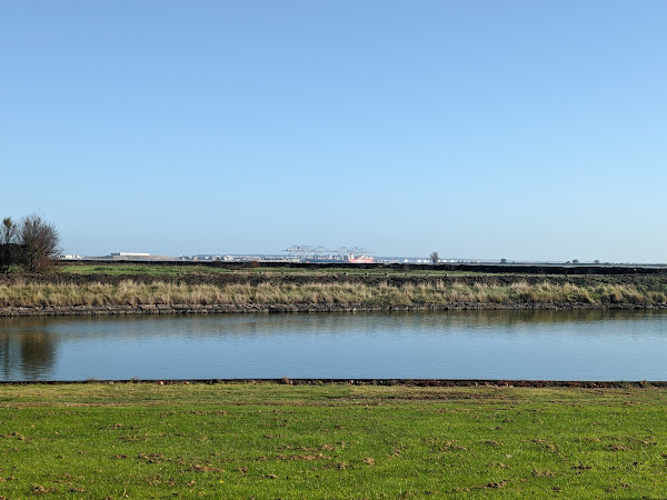
London Gateway port from Coalhouse Fort

To the south-east of Tilbury lies the Coalhouse Fort; a defensive installment, though constructed in the 19th century, which lies in a very relaxing landscape.

Coalhouse Fort with relaxing landscape

The fort was also defended with its own moat, which is still in place today.

Coalhouse Fort from the moat

On the opposite side of the river bank (to the East) lies Cliffe Fort, while on the southern bank lies Shornemead Fort. The numerous forts along the river worked together to act as a single defensive unit, but were difficult to distinguish from the northern bank.

There are a number of jettys along the river being actively used for various means, which are accessible by following the river path towards Tilbury Fort.

A container transport ship, alongside a car ferry

In addition to the modern docks, the area was historically important as a defensive location guarding entry into London via the River Thames, and as such Tilbury Fort was constructed to provide artillery support to other forts along the river. It was from here that Britain launched its defense against the Spanish Armarda in 1588.

Ornate main entrance to Tilbury Fort

Aside from the ornate main entrance (considering it is a military defense site), a range of cannons and other artilery are located at the fort.
Artillery at Tilbury Fort

Links: Report | Results | Strava

Popular posts from this blog

Mildenhall Hub parkrun

This week I decided to make some more progress on the Fibonacci Sequence challenge by attending event number 5 of the new Mildenhall Hub parkrun! The area Mildenhall is a small market town located between Cambridge and Bury St Edmunds. The modern town's population is heavily influenced by the two airforce bases located on the outskirts of the town, with up to a third of the town's residents being born in USA! The town is also where the Mildenhall Treasure was discovered - a collection of Roman silverwar considered to be perhaps the most important and valuable Roman treasure find in Britain. Owing to its importance and value, the treasure is now on permanent display at the British Museum. To the west of the town lies Mildenhall Hub, a newly built community centre, and host of this week's parkrun event! The course One lap of the course follows an initial out-and-back section, followed a lap of the adjoining meadow, with runners following the route two and a hal

Sloughbottom parkrun

With the weather reflecting a stereotypical British summer in the week prior to parkrunday (cloudy), I decided against attending one of the remaining seafront events this week. With a small island of unattended events in Norwich still, I couldn't fight the temptation to make that island smaller, and so Sloughbottom was to be this week's event! The area Sloughbottom parkrun (pronounced "slow-bottom" by the locals) is held in Sloughbottom Park, and the adjacent greenspace and former railway line in Norwich. The park is a recreation ground, and was created in 1929 as part of the council's efforts to kick-start the local economy at the same time as Eaton Park, which hosts Norwich parkrun . The former railway line which makes up part of the course is now known as Marriott's Way, a 24 mile trail path which follows the path of the original railway lines from Norwich to Aylsham. The trail is named after the former Chief Engineer and Manager of one of the f

Flegg High parkrun

After running Brighton Marathon last week, I was in desperate need of an easy recovery run this week, in all senses! Flegg High parkrun ticks all of the boxes I was looking for, in that it is a flat, small event, with some off-road surfaces to help with the recovery. The area Flegg High parkrun is hosted by Flegg High Ormiston Academy - an academy in the village of Martham, near Great Yarmouth, in Norfolk. The village of Martham is a primarily residential area, while also being home to Martham Broad - a nature reserve slightly north of the town. The course The route at Flegg High follows three laps of the perimeter of the school grounds, taking in the playing grounds as well as the school's playground. The course is run on many surfaces, including tarmac, gravel, and grass, but can best be thought of as 2-thirds off-road (mainly grass) and 1-third on-road (gravel and tarmac). Toilets are available in the school, and free parking is available on site. The run Tod